We had some beautiful weather while staying in Yachats for 5 days. On Saturday, we connected up with our friend Alex who lives about 12 miles north of us. Since the weather was so good, truly amazing for this time of the year, we were treated to a little flight time. Grey whales are heading north and we hoped to see a few. Four miles north of Yachats is Wakonda Beach Airport (a small grass strip inland a bit from the ocean). Alex flew down from Newport to meet us there.
Dave had the honor of going first. Alex is on the left, Dave right. Moby and I hit the beach for 45 min during their flight.

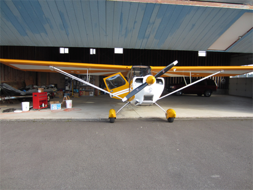
Alex’s yellow Citabria.

On Dave’s flight, they headed south in search of whales. They passed by Cape Perpetua.

California Sealions basking outside Sealion Caves. Kind of hard to pick out, but they are there.

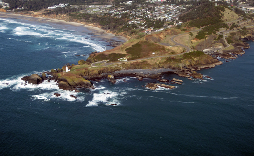
Heceta Lighthouse.

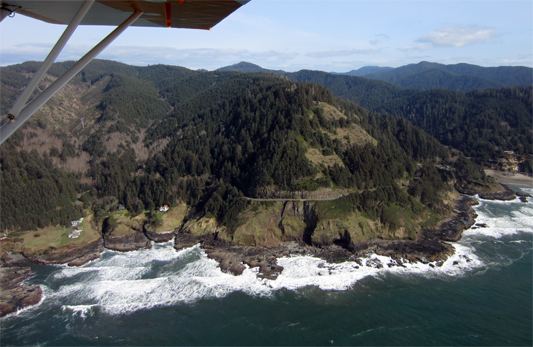
North side of Heceta Head. You can just see the lighthouse popping up over the ridge.

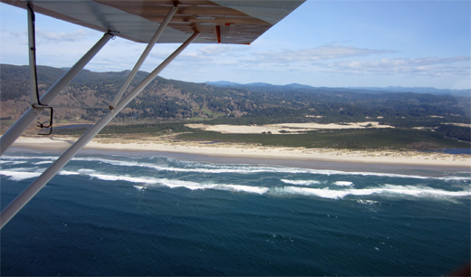
Lily Lake just south of Heceta Head. The went as far as Florence to find a group of 3 Grey whales playing around. The photos Dave took unfortunately don’t show much except white water on the blue-green ocean, so I’m not posting them. Sorry Dave!
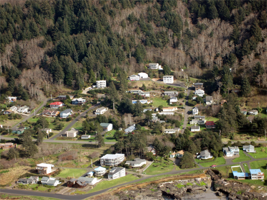
Yachats: Southern section of town. My family has one of the houses towards the upper section out of a tsunami wave zone (but not earthquakes).
Dave returned and now it’s my turn! A grass runway was excellent! We even had a cheering group at the end of the runway. I’m guessing there isn’t a lot of air traffic in and out of that strip.

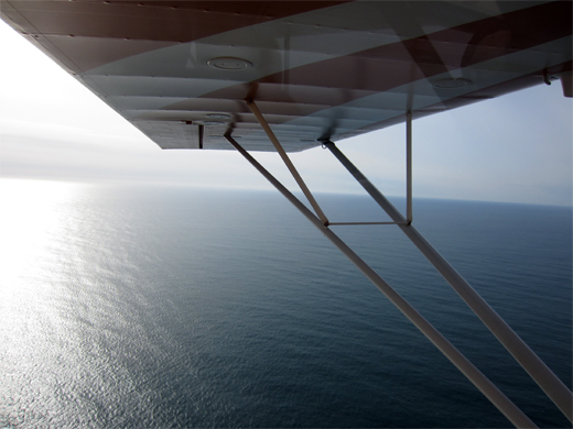
Up in the air and gaining altitude. We cruised at 1600 ft.

We headed north for our whale search. Along the way we passed by Waldport, 4 miles north of the airport.

Seal Rock was next.

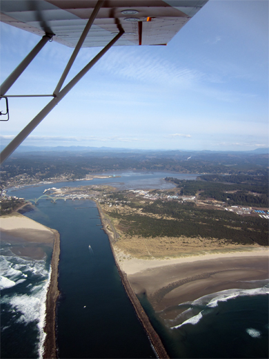
Newport and the mighty Yaquina River/Estuary.
Yaquina Head Lighthouse
Yaquina Light a little closer. This is an outstanding nature area with a great visitors center.

Farther north was Cape Foulweather.

Which bridge is it? It’s north of Cape Foulweather. Is it possibly the Rocky Creek bridge? Not certain. Part of the reason to put in the image is for the clear-cut forest behind. Pretty impressive swaths of trees cleared.

Alex took me up to Depoe Bay. We did manage to see one single whale in that area, but it was so far below it wasn’t worth taking images of. That whale was about 1.5 to 2 miles off shore.

So, we headed south again to Newport. Below is the jetty and the airport is just visible in the upper left corner of the image.

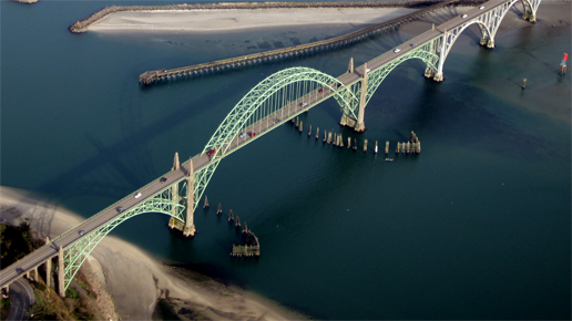
One of my favorite images, the Yaquina Bay Bridge in Newport.
Landing strip in sight!

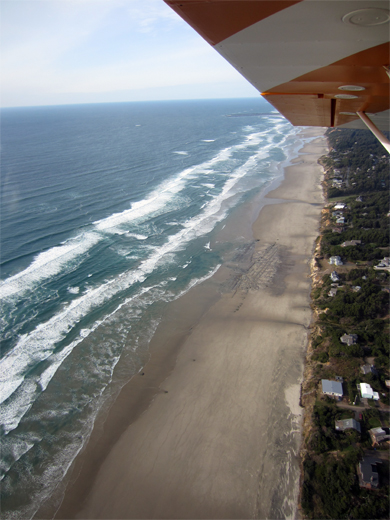
A creek emptying out onto the beach.

A final curving sweep over the beach.
Yellow plane being tucked back into her hanger.
Thanks Alex for yet another great flight! The “WO” was most excellent!
😀

Lucky Girl! What a great day for flying. The bridge looked great. Thanks for sharing these.
It’s not often people get the opportunity to view the coastline from that perspective. I like it better than being on a boat. Much calmer!
🙂
Beautiful. What a shot of the bridge!
yep, certainly one of my favorites! 🙂
Great shots, thanks for posting, makes Lisa and I very envious. So glad you had good weather. The shot of Alex makes him appear to be a Busby, don’t tell him that please. Jean
Well Jean, you and Lisa have room available in Yahcats. Just name your date! You’re always welcome to come visit.
🙂